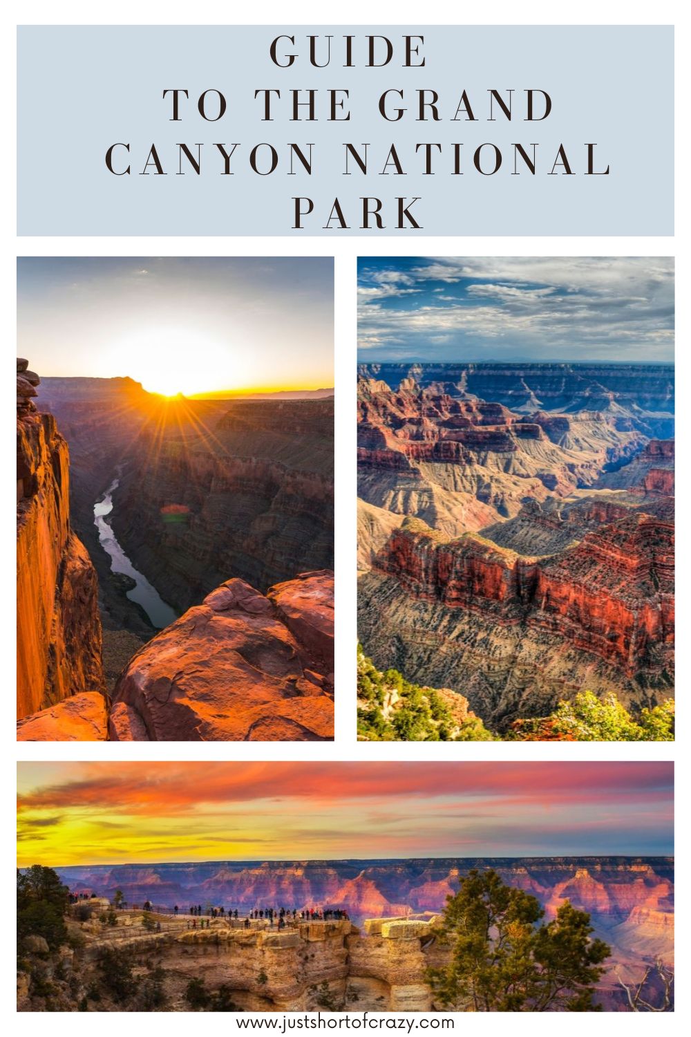
Guide to the Grand Canyon National Park
Approximately 17 million years ago, the Colorado River began carving its way through the Colorado Plateau, eroding the river’s sides and forming what we now know as the Grand Canyon National Park.
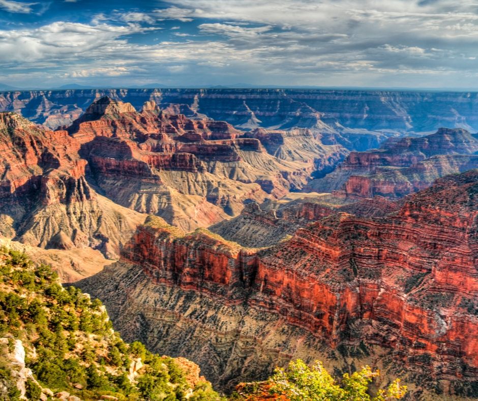
Today the canyon is 277 miles long and 18 miles wide at its widest point. The Colorado River lies at the bottom of the canyon, over 6,000 feet below the rim.
Grand Canyon National Park
The area surrounding the Grand Canyon was declared a National Monument in 1908 by President Theodore Roosevelt.
Eleven years later the area was declared a national park, becoming one of the first national parks in the United States.
The National Park area covers 1,902 miles2 of Arizona and is included in both Coconino and Mohave counties.
Stretching from Marble Canyon on the east to Pearce Ferry on the west, the park includes the entire north side of the canyon and the eastern half of the southern rim.
The remaining portion of the south rim is part of the Hualapai Indian Reservation.
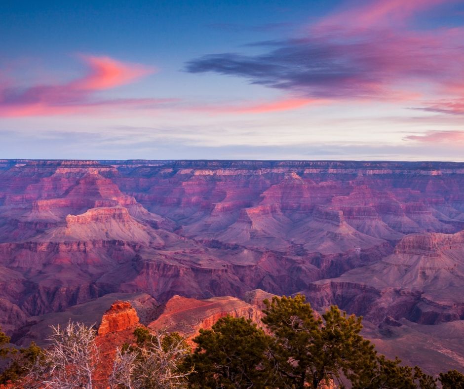
Grand Canyon Climate
Due to the high altitude of the Grand Canyon rim, weather can change quickly and is very different from temperatures at the bottom of the canyon, 4,000 feet below.
In winter, temperatures can drop as low as 18°F (-8°C) on the south rim with significant snow fall during the winter months.
Temperatures at the Colorado River rarely drop below freezing, even during the coldest months.
During the height of summer, south rim temperatures can soar to 84°F (29°C) whilst the canyon walls heat the inner canyon up to a scorching 106° F (41°C).
Temperatures on the north rim are generally a couple of degrees cooler than the south due to the higher altitude.
Driving to the Grand Canyon National Park
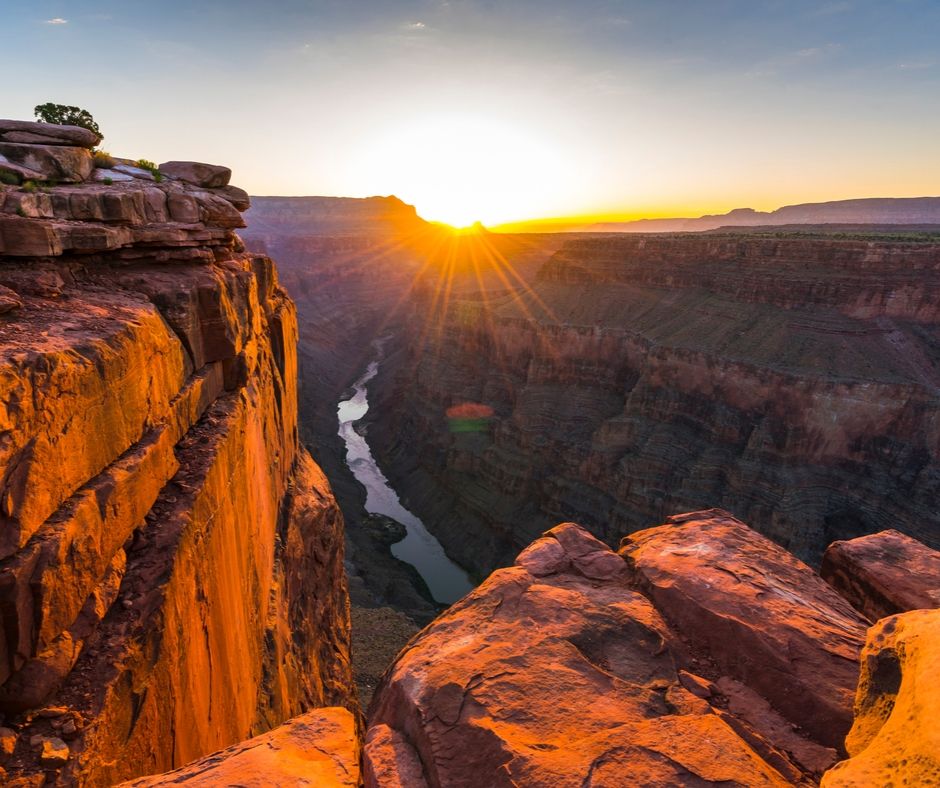
Crossing the Grand Canyon by car isn’t an easy feat, the Navajo Bridge crosses the eastern end of the Colorado River near Page.
The next river crossing by road is at the Hoover Dam on the Nevada/Arizona state border, located nearly 300 miles downstream.
Aside from the two river crossings, there are only four locations reachable by road to witness the Colorado River in the Grand Canyon.
Paved roads lead to tourist villages located on both the south and north rim. Whilst Grand Canyon Village at the South Rim is accessible all year round, the higher altitude results in the closure of the North Rim resort during the winter months.
Grand Canyon West and Toroweap Overlook are the only other locations accessible by car. Both destinations involve long journeys on unmaintained, gravel roads.
However, since the opening of the Grand Canyon Skywalk in 2007, the roads to Grand Canyon West are gradually being improved.
Grand Canyon Airports
The closest major international airports to the Grand Canyon are Phoenix and Las Vegas.
However, charter flights and sightseeing tours are available to/from Grand Canyon National Park Airport.
The airport is located close to the south rim, just outside the national park entrance, in the town of Tusayan.
Grand Canyon West Airport offers flights from Las Vegas into the Hualapai Indian Reservation.
Many passengers use this airport for access to the Grand Canyon Skywalk as it provides a faster and easier alternative to driving along an unpaved and bumpy gravel road.
Bus tours are offered from the airport to Eagle Point and the Skywalk.
There are no airports servicing the north rim of the canyon. The nearest airport is St. George, Utah which provides very limited services.
Other alternatives are Salt Lake City, Phoenix or Las Vegas.
Grand Canyon National Park Rafting
For those who find driving/flying to the Grand Canyon too tame a prospect, the final way of accessing one of the natural wonders of the world is by boat.
22,000 thrill-seekers per year join rafting trips along the Colorado River. Sixteen tour companies are licensed to raft the 277 mile stretch of the Grand Canyon each year and places are limited to protect the ecosystem along the river basin.
Rafting trips usually begin their journey at Lees Ferry in Marble Canyon and emerge from the canyon 8 days later at Pearce Ferry in Lake Mead.
For many, the most exciting part of the trip is riding the white water rapids whilst surrounded by 4,000 feet of vertical cliffs.
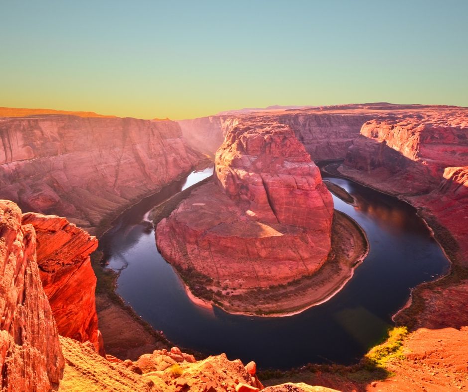
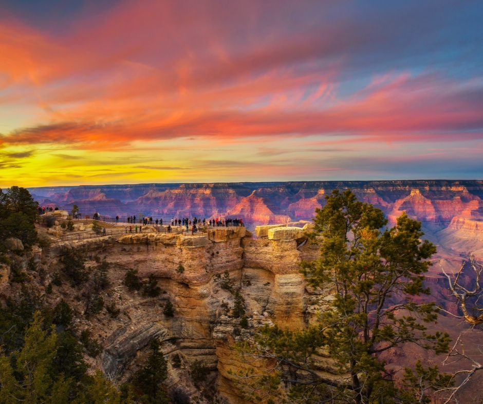
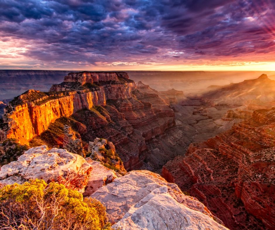
Natural Wonders of the World
No matter which way a tourist chooses to experience the Grand Canyon, they are certain to leave with fond memories of the place many describe as one of the natural wonders of the world.
Whether looking from the rim down to the Colorado River over a mile below or gazing from the river upwards at the cliffs above, the sheer size is certain to leave visitors feeling small and insignificant.
Pin Guide to the Grand Canyon National Park to Pinterest